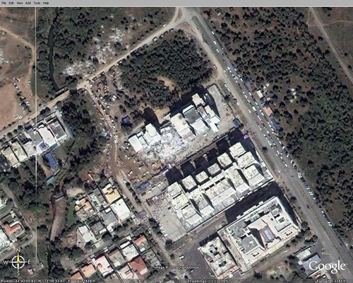
Google Earth now has imagery and other data available with respect to the quake stricken areas

© Google Earth - Margalla Towers, Sector F10, Islamabad
The kmz file for this imagery is located here
Here is the link for updated data availability on current events
Updates on the Google Earth maps database are available here
1 comment:
Padre! Long time I haven't seen no new ppostings, senor. The world awaits!
Post a Comment